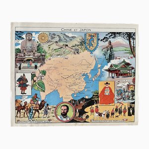
Illustrated Map of China and Japan by Émile-Joseph-Porphyre Pinchon, 1948
£116
Free Shipping
You are now following French Provincial Charts online at Pamono. You can manage alerts in your account settings.
You have unfollowed French Provincial Charts online at Pamono.
Illustrated Map of China and Japan by Émile-Joseph-Porphyre Pinchon, 1948
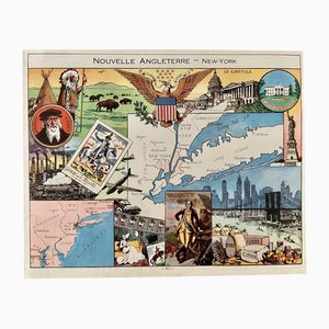
Illustrated Map of New York by Émile-Joseph-Porphyre Pinchon, 1948
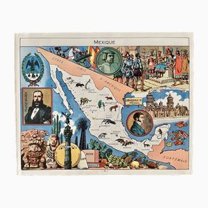
Illustrated Map of Mexico by Émile-Joseph-Porphyre Pinchon, 1948
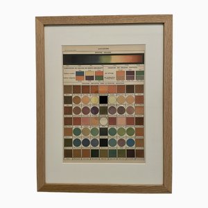
Illustrated Encyclopedia Color Plate, 1900, Color Engraving
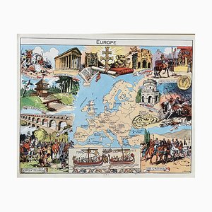
Illustrated Map of Europe by Émile-Joseph-Porphyre Pinchon, 1940s
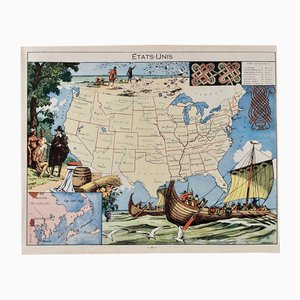
Illustrated Map of the United States by Émile-Joseph-Porphyre Pinchon, 1948
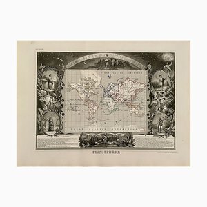
Planisphere World Map, 1849
Trending